Hi all
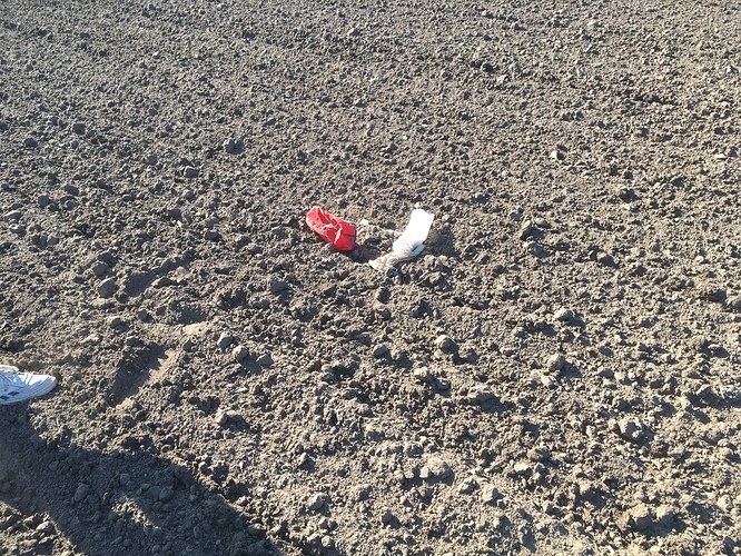
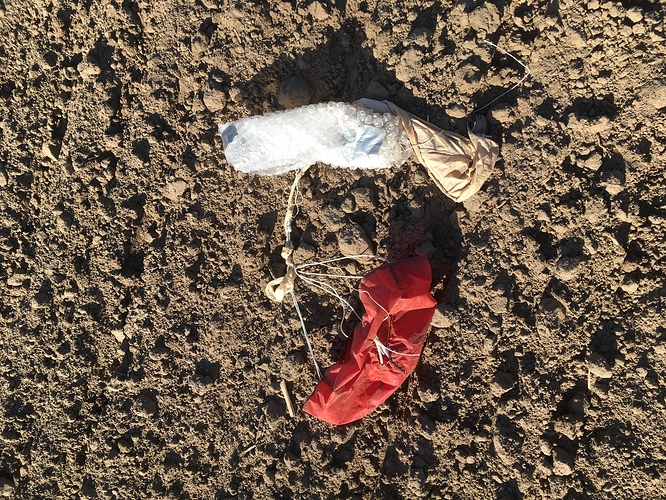
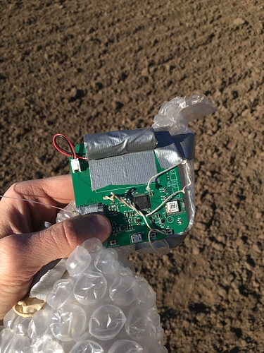
During The Things Virtual Conference last week a high altitude balloon was launched from Utrecht in The Netherlands. It travelled east, going up to an altitude of 38km where it burst and started its journey back to earth. This happened just west of Münster. At about 12km altitude on the downwards journey the GPS stopped working. We however still knew the balloon’s altitude from an onboard barometer. We therefore saw that the balloon hit the ground an hour later and it was still being received by one of the TTN gateways in the east of Münster. Two days later the balloon tracker’s battery was almost empty. It caused the GPS to restart and send us one last location. We therefore know exactly where the balloon landed.
You can see the track of the balloon here:
https://ttnmapper.org/track/?experiment=things-virtual-balloon&startdate=2020-04-16
And ground zero:
http://maps.google.com/maps?q=51.9822592,7.7178624
From the track on TTN Mapper you can see that the balloon was received by a LoRaWAN gateway in the Czech Republic at a distance of 832km. That makes it the furthest ever LoRa signal from a balloon. A new world record!
If anyone is in the vicinity of where the balloon landed, it would be great if you could take some photographs  of what the balloon and electronics look like. From photos we can learn a lot from the flight and the affect it has on electronics.


